The expedition
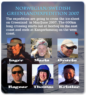
Norwegian/Swedish Greenlandexpedition 2007
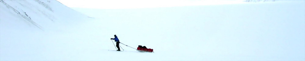
The expedition aim to cross over the ice cap on Greenland in may 2007. We will cross from the eastcoast to the west coast and expect that the journey would take about 20 to 30 days. This is an expedition where we would mostly use skiis and haul a pulka each with our supplies.
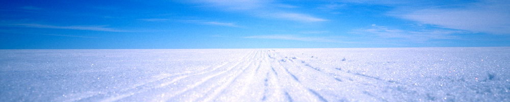
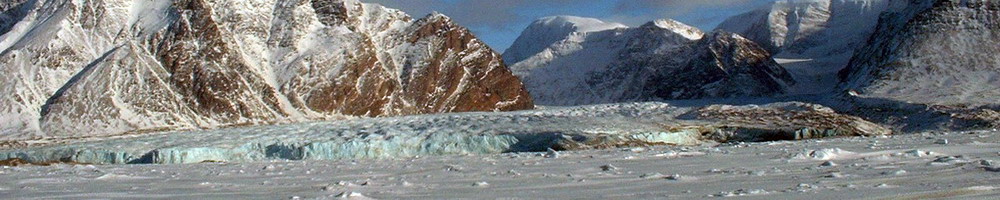
The last 6 months we have been planning, preparing and coordinating this journey which will take place on the second largest ice-sheet on earth. From Norway and Sweeden we fly via Iceland to Greenland, where we would spend a couple of days in the small town Tasiialq to prepare our equipment. Then we are going to be transportet by helicopter to a remote village named Isortoq. From this spot we will then start our crossing and getting up on the glacier. The first days might be somewhat difficult because of cracks and water on the ice, but when we reach the platoe the ice would be very flat. The highest point will be 2400 meters above mean sea level and the total distance we would cover we estimate to be close to 600 kilometers. At the west coast of greenland we would decend towards Kangerlussauq (Søndre Strømsfjord). On the front page of AcrossGreenland.com you can see a map of out route and also track our progress.
How to organize such an expedition
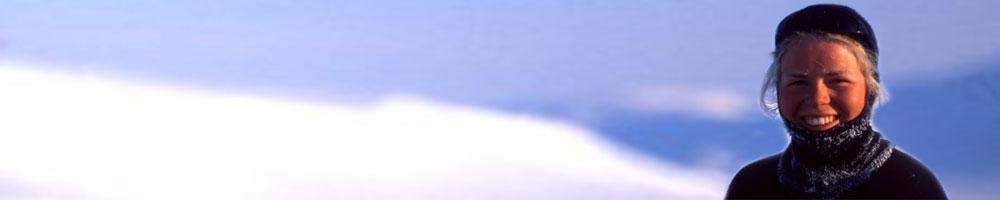
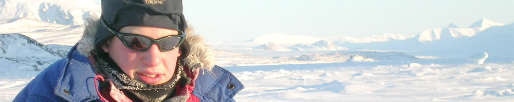
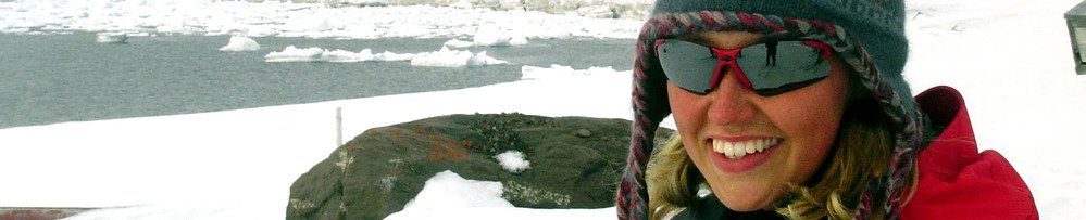
We have choosen to organize everything our selves, not involving expedtition firms or similar. The route we are planning to undertake is among the most usual when it comes to crossing the ice-cap, however, we have a small twist at the start. We start out at sea level from a remote village and is not flown in to, or just beside, the ice which is very common. Our group consists of experienced persons when it comes to outdoor-life and we have all earlier done trips in arctic conditions. You can read more about the group on this page
Why cross over the ice cap on Greenland?
Most of the group focus on the "trip-feeling", just beeing on a trip for a long time as the main objective on this expedition. The challenge, planning and alle the experiences is also important. It is indeed nice to share the adventure with great expedition friends and know that we all have to cooperate and use our energy to reach a common goal. It is important to be a team player just not in the group, but also towards the nature.
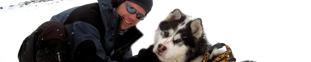
We also hope to get a small insight at the traditional innuit culture and see how the modern socity is functioning in arctic sourondings. On this page we have gathered some general informations about Greenland
Weather and conditions
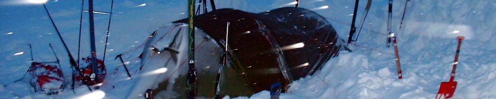
There is no mountians shielding the ice cap from extreme winds and the temperature could easily drop below minus 25-30 centigrades even during spring mounts. However, a bit more moderate temperature is common i May. There might also be periodes when there is quite warm and therefore rain in stead of snow. We have to tackle all kinds of weather when we set out for the crossing. In addition to "normal" winds, there is also a the possibility of an "piteraq", that is very strong windes "falling" down the glaciers. Read some more about the weather on our weather page
Equipment and provisions
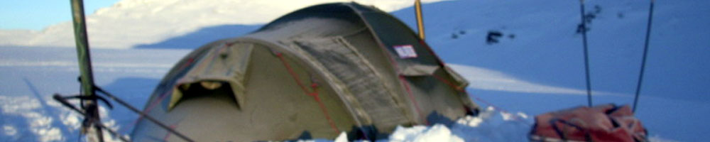
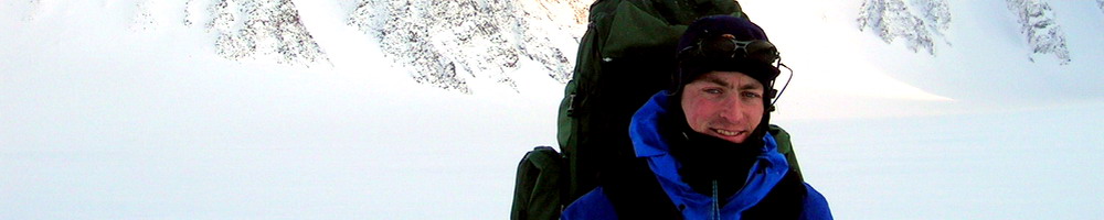
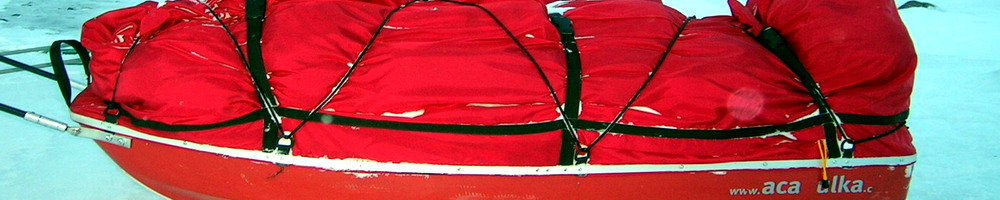
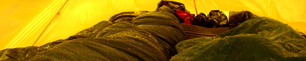
We have everything we need for about one month in pulkas. At the start theese might have a weight of 60-70 Kg, including a lot of fuel. There is a change for very low temperatures, so we bring a lot of warm and suitable clothing. A list of our equipment is available her
Safety
We are mostly alone on the ice cap and would then have to rely on our equipment to deal with most situation. Should there be a need for assistance we could notify the search and rescue parties through a Personal Locator beacon or a sattellite phone. However, some parts of the ice i just barely in reach of helicotpters and require nice weather conditions to fly. On our expedition we have got an extended first aid kit.
Navigation
There ar few or none points to use as reference on the ice-cap. There might also be low visibility due to fogg, low clouds or snow in the air. To keep the bearing we would then use a combination of GPS and a standard compass. First we use the GPS to calculate our position and the direction to our next point, then the compass as we are walking. The GPS calculate autmatically the magnetic north grid if needed (magnetic and true north are not the same, espessially not her).
Communication from the glacier.
We use a sattellite phone to post updates on theese pages and we will also recived weather reports.
Appliing for an expediton
Almost everyone walking outside of the populated areas have to apply to the danish autorities to be allowed access. It is the Danish Polar center which issue theese permits. There are several conditions, among them a search and rescue isnsurance.
Transportation
We fly from Norway and Sweeden with Scandinavian airlines. From Reykjavik AirIceland takes us to Kulusuk in an Dash-8-100 turbopro 37 seter aircraft. On the east coast of Greenland we would fly with a Bell 212 fom Air Greenland. In addition to ordinary luggage, we have also sent a lot of parcels to Greenland (about 200Kg)
On the west cost we might be transported from a spot refered to as point 660, just inland of Kangerlussauq where the main airport in Greenland is located. From that place we would catch a plane bound for copenhagen, Denmark
But is this really an "Expedition"
Several of us would maybe use the word "long-trip" in stead of expedition. To be strict the definition states that it should be scientifically or millitary objectives. However, it is common to use the word of jorneys to remote places, cold and warm places, very long trips etc.During "the trip" we collect some weather date and test some equipment, both things that would be in our final expedition report.
When we go
4.May: Flying to Iceland
5.May: Flying from Reykjavik via Constable pynt to Kulusuk, then head on to Tasiilaq in a helicopter.
6.May: Preperatons in Tasiilaq
7.May: Helicopter flight to Isortoq
8.May: Crossing starts
20-25-30 days over to the west coast
31.May-04.June: Possible arrival at point 660 (Kangerlussauq)
01-05.June: Flight to copenhagen, later to Norway and Sweden
Comments
Comment from
Kjell Øystein
Posted
06.05.2007 ,
03:19
Hei! Flott side folkens. Skal bli arti å følge med turen dykkar, dokke e spreke. Sit på Nordfjord FHS og nyt det fine vårværet, og reknar med det er litt mildare her enn på Gønnland. Go tur over landet! Nyt det!
Kjell Øystein
Write a comment